Benton McKaye Wrapup • 11.01.10
Lil and I had a great time out on the trail with Matt and David. It was DEFINITELY a little tougher hike than I’m used to – 12 miles with a 40 lb pack on with some pretty steep ups and downs for the better part of a day (almost 6 hours of hiking) was TOUGH. It was fabulous being outside, though. The nights got a little cold (around 30), but we were tented up and geared up and slept well after our daily physical exertions. I will say the new Neo Air air matresses made a HUGE difference in that. Going from a 3/4 size 1 inch thick pad to a full lenght 2.5 inch sleeping pad was fabulous. Anyway, it’s been a little bit of a more muted fall here (or so my wife tells me) but it was still plenty gorgeous on the BMT (we started the trail – Section 8 – just outside of Cherry Log).
The first night we hiked in about 2 miles before setting up camp. It was already a little dark and cold by the time we got set up that night, so we pretty much just boiled some water, ate our “mountain meal” and then headed to bed. The next morning we reconsidered our decision to camp just off the road when a cadre of hunters showed up at 6:30. Lillis stayed in the tent while I mingled with the laid back country folk.
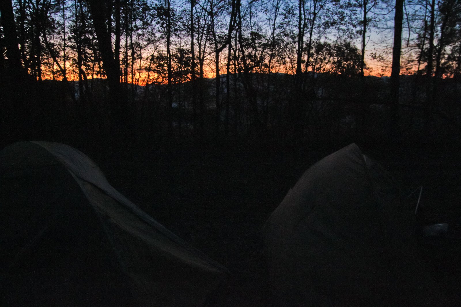
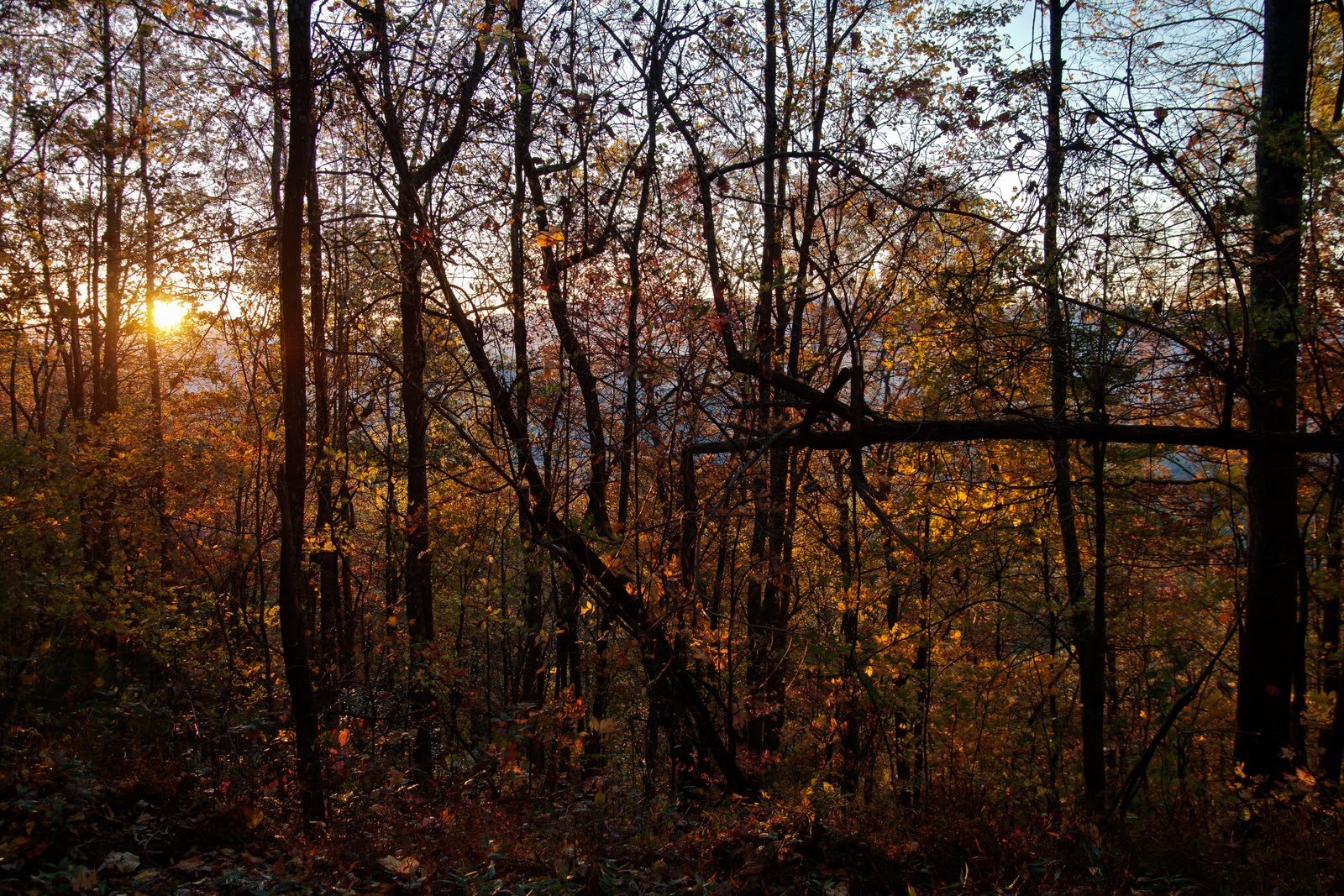
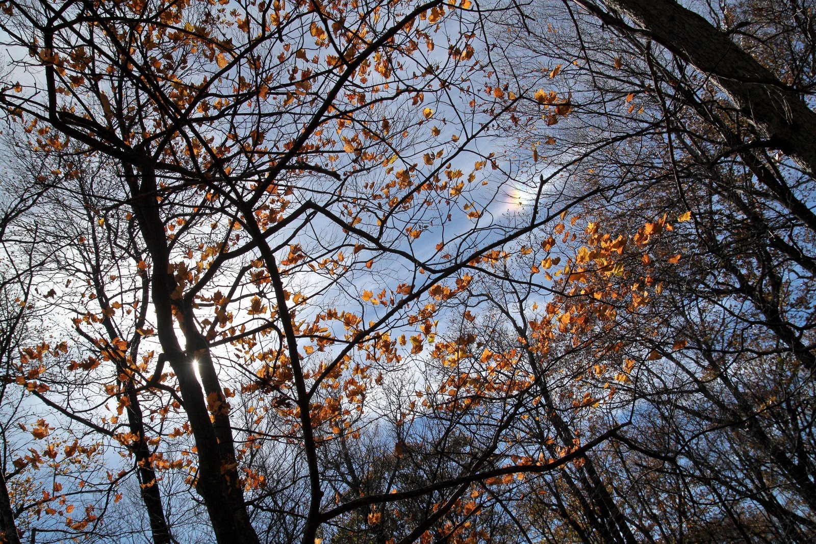
I got a few pics while we waited for the sun to get up in the sky and for us to start the big day’s hike.
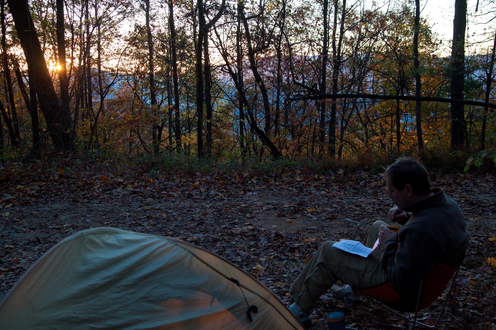
David mapped out the key waypoints for the day as the sun rose over the ridgeline and matt continued to snuggle up next to his dog phelps in the tent.
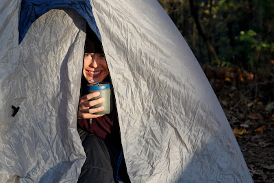
lillis wasn’t sure if it was quite time for her to come out of the tent yet. so, i brought her her little mug of starbucks “via” coffee so she could sip it while still inside our cozy little home on the trail.
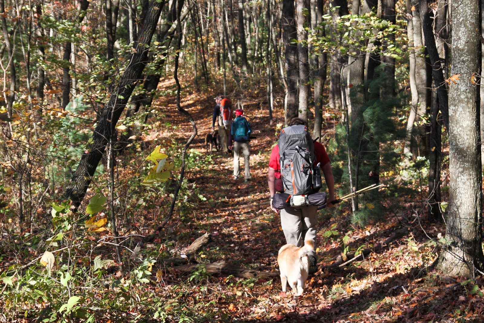
speaking of the trail. here we all are traipsing down it. that’s phelps (yellow lab) trailing matt. i liked phelps b/c she’s a little old, a little chubby, and she has short legs. she was the only one on the trail who moved at anything close to the speed i was physically prepared to go.

speaking of the trail. here we all are traipsing down it. that’s phelps (yellow lab) trailing matt. i liked phelps b/c she’s a little old, a little chubby, and she has short legs. she was the only one on the trail who moved at anything close to the speed i was physically prepared to go.
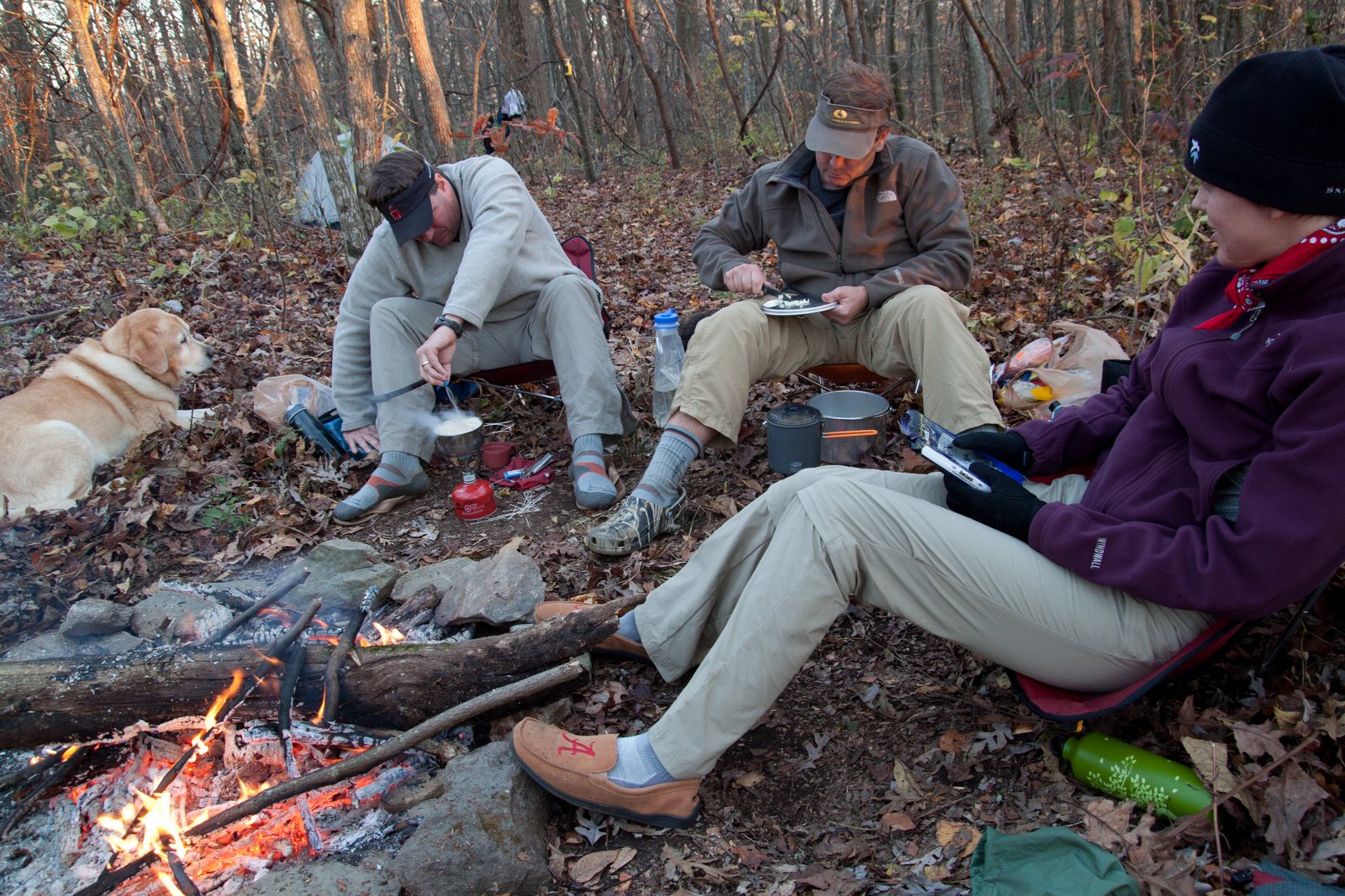
about 5 or so miles in on saturday we stopped to fix some lunch. it was good and it was needed. i was pretty pooped at that point.

eventually we got to flat top mountain (saturday night camping spot and high point for the trek). it was beautiful atop there in the late afternoon, and i spotted a little mini-rainbow in the sky.
here we’re gearing up to fix our pad thai that night. david does up the fancy cookin’, well beyond the basic “mountain meal” packs.
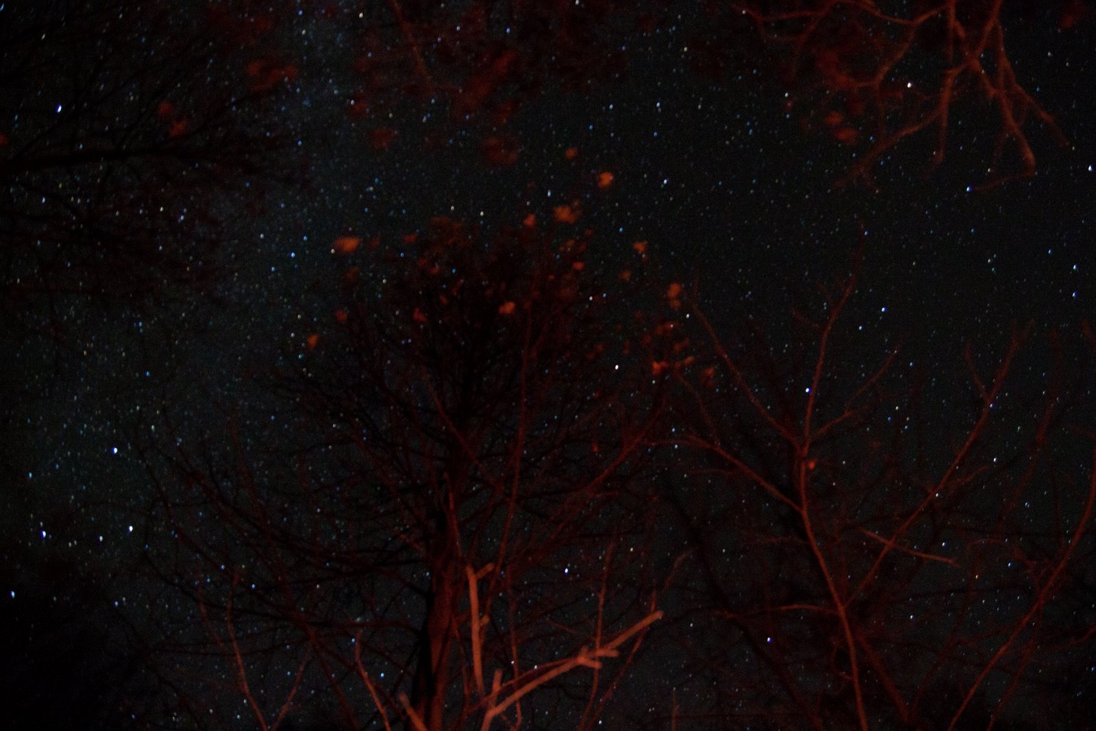
i snapped this pic on a long exposure of the night sky above the fire. it’s worth clicking on to see if full size (i think).
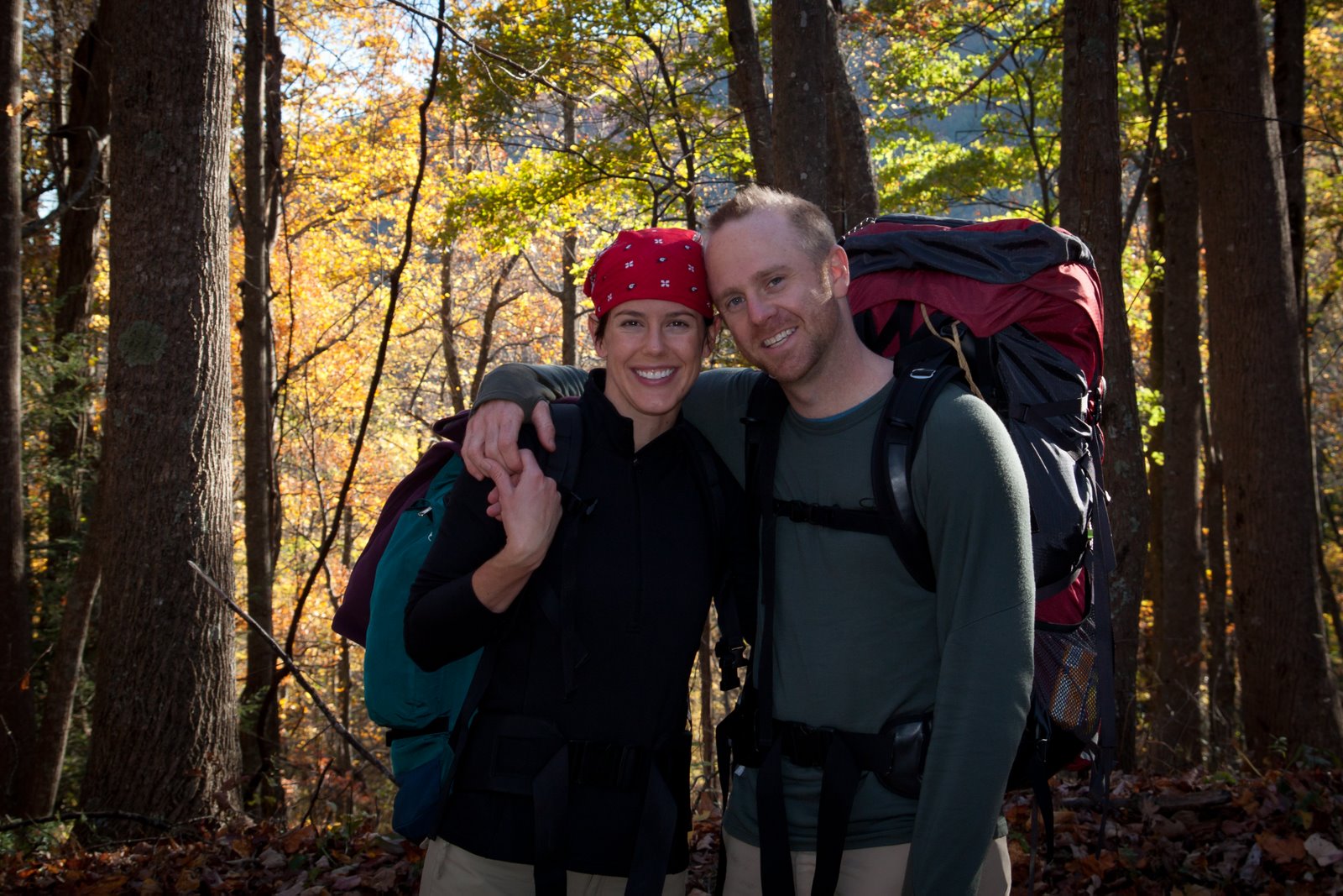
that’s lil on the left (your left, not mine) and me on the right as we hike down on sunday to the takeout spot.
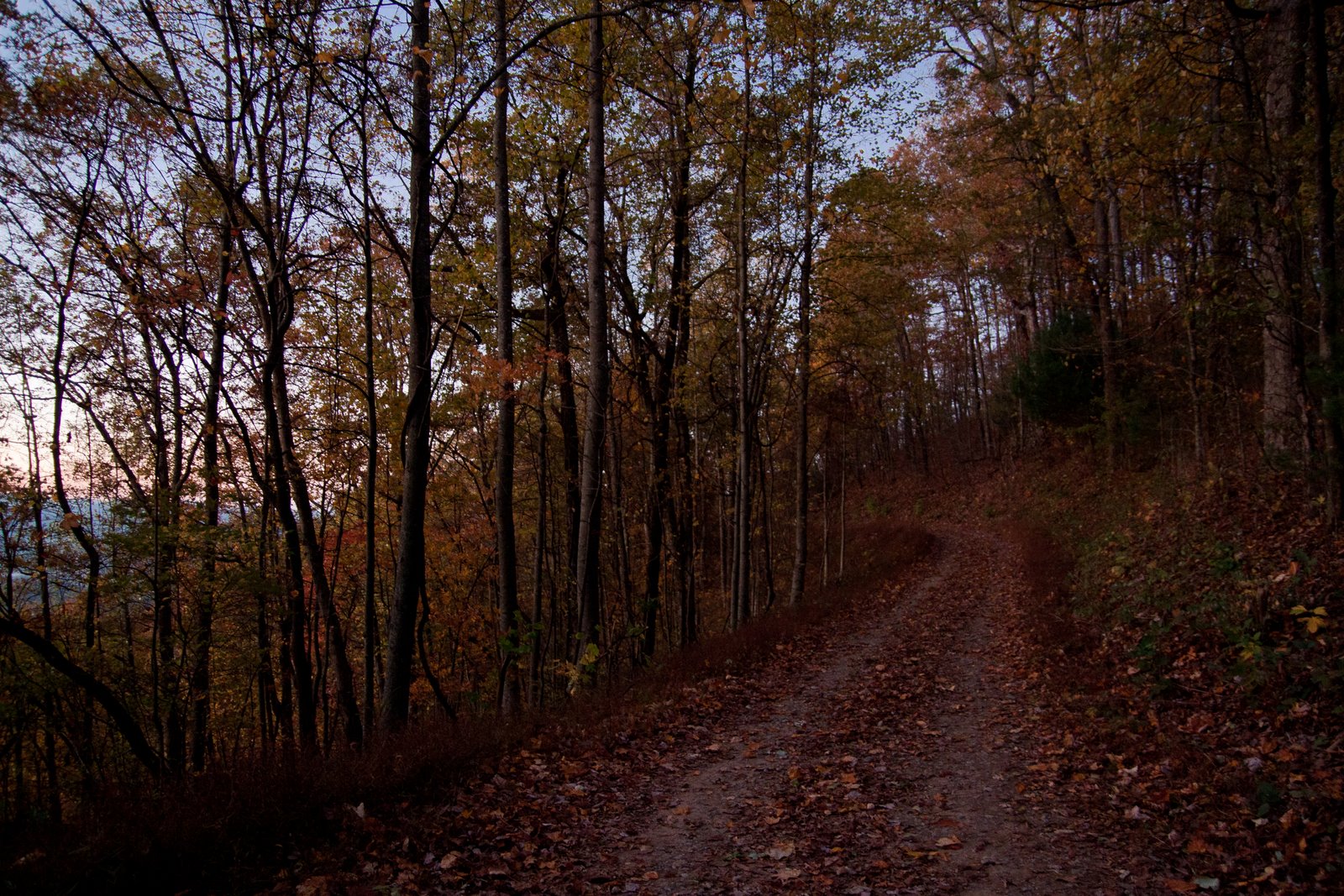
view of the gorgeous fall foliage from where the trail meets the road down. this part of the mountain was obviously NOT subdued.

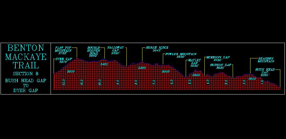
here’s the topographic side view of our hike. i can point to places where i thought i might be about to have my heart go into to super ventricular tachacardia. i don’t really know how to spell super ventricula tachacardia, but suffice to say, it was beating pretty fast on some of those climbs. also, i love that this topograph was apparently made using a commodore 64 or the computer from war games. you don’t see this kind of graphics much west of the oregon trail.
here is a link to the rest of the pics for anyone interested.